
Williamsburg, VA, October 27, 2025 News Summary The Williamsburg community is grieving the loss of Joanne Christian Modlin, a beloved educator and community leader who dedicated her life to teaching and...

Bristol, Virginia, October 27, 2025 News Summary The Bristol Virginia Fire Department tackled several fire incidents over the weekend, including a house fire and suspicious fires. While no injuries were reported,...

Bristol, Virginia, October 26, 2025 News Summary The Bristol Police Department executed a successful drug bust on October 15-16, resulting in four arrests and the seizure of methamphetamine and other controlled...
Bristol, Tennessee, October 26, 2025 News Summary Bristol, Tennessee witnessed a disappointing weekend for local Division II college football teams, with all three squads suffering defeats. Newberry narrowly lost to Emory...

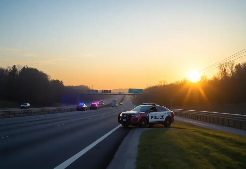
Bristol, Virginia, October 25, 2025 News Summary A murder-suicide incident occurred in Bristol, Virginia, leading to the deaths of Jessica Hickman and Travis Hickman. Police responded to the scene early in...

Bristol, Virginia, October 25, 2025 News Summary The Bristol Police Department conducted a successful two-day operation resulting in the arrest of 19 individuals. This collaborative effort involved multiple law enforcement agencies...

Williamsburg, VA, October 25, 2025 News Summary The community of Williamsburg, VA, is deeply mourning the loss of Joanne Christian Modlin, a beloved educator and community leader known for her extensive...

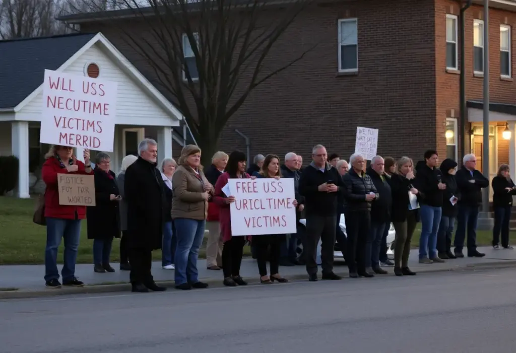
Bristol, Virginia, October 25, 2025 News Summary Residents of Bristol, Virginia, are frustrated by persistent odors from the city landfill, prompting a state panel’s recommendation for its permanent closure due to...
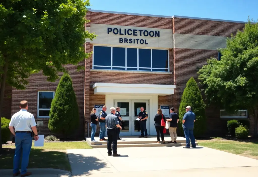
Bristol, Virginia, October 25, 2025 News Summary The Bristol, Virginia Police Department has been awarded a $233,693 grant from the U.S. Department of Justice aimed at supporting Community Policing Development initiatives....

Petersburg, October 26, 2025 News Summary Petersburg will introduce a temporary casino in January 2026, generating 500 jobs. Located off Interstate 95, the facility will feature 900 slot machines and 33...
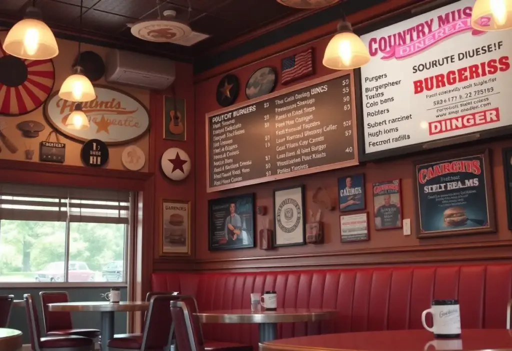
Bristol, Virginia, October 26, 2025 News Summary Burger Bar in Bristol, Virginia, has introduced a new menu inspired by Hank Williams, featuring items named after his iconic songs. This initiative pays...

Bristol, Tennessee, October 25, 2025 News Summary Electro-Mechanical, LLC has announced its acquisition of Powercon Corporation, aiming to strengthen its portfolio in medium voltage solutions. This acquisition not only enhances Electro-Mechanical’s...

Bristol, Virginia, October 25, 2025 News Summary Electro-Mechanical, LLC has acquired Powercon Corporation, enhancing its capabilities in medium voltage switchgear and power distribution solutions. This strategic acquisition aims to better serve...
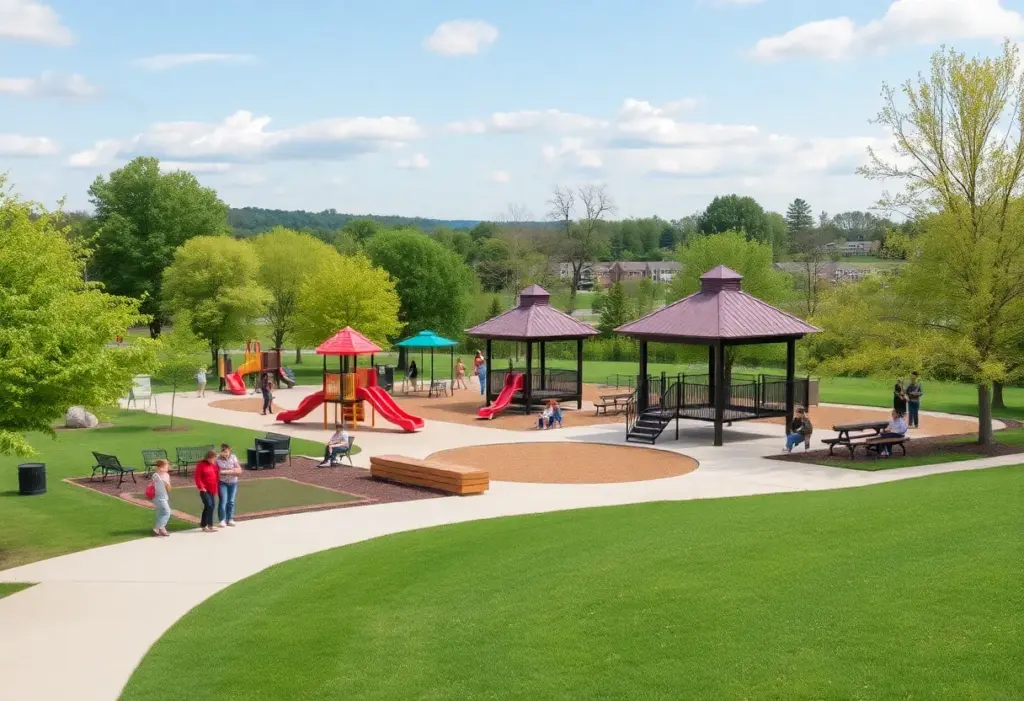
Bristol, Tennessee, October 25, 2025 News Summary Bristol, Tennessee has successfully secured a $48,000 grant from the Tennessee Department of Environment and Conservation to develop a comprehensive Parks and Recreation Master...

Kingsport, October 25, 2025 News Summary Gas prices in Kingsport have shown notable volatility as winter approaches, currently averaging $2.76 per gallon. This represents a slight decrease compared to the previous...

Bristol, TN, October 25, 2025 News Summary The documentary ‘The Music We Call Country’ is now streaming on Amazon Prime. Produced by Marshall Hunter and Noble Giant Films, the film delves...

Bristol, VA, October 23, 2025 News Summary Vee Spa Nails has opened its doors in Bristol, Virginia, offering a range of beauty services such as manicures, pedicures, waxing, and eyelash extensions....
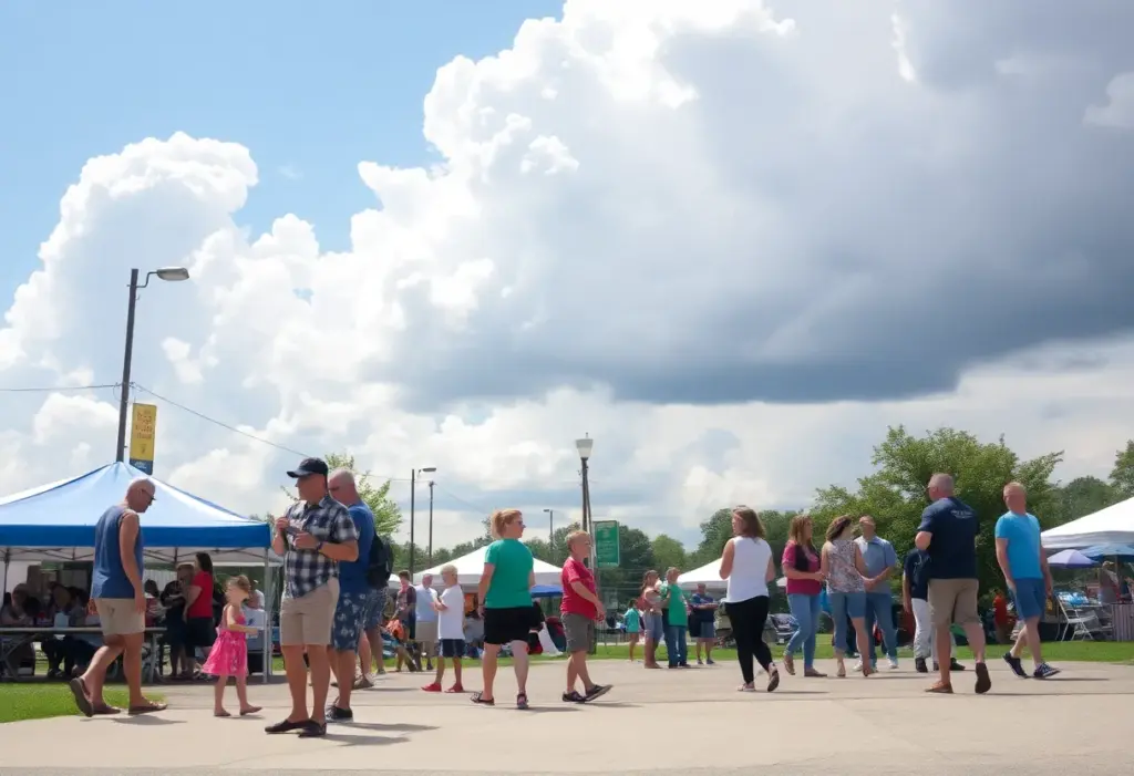
Bristol, TN, October 23, 2025 News Summary Bristol, TN is seeing a mix of weather patterns and community events. The day will start with sunshine and a mild temperature of 73°F,...

Bristol, Virginia, October 27, 2025 News Summary The Virginia Department of Transportation (VDOT) is preparing for a winter storm hitting Southwest Virginia, with snow accumulation already underway. Residents are advised to...
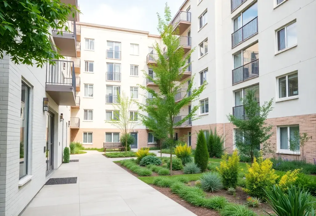
Johnson City, October 27, 2025 News Summary Residents of Johnson City are set to relocate to the new Tapestry at Roan Hill apartments, marking a significant redevelopment initiated by city officials...

Bristol, Virginia, October 26, 2025 News Summary Bristol, Virginia has initiated its early voting period for the upcoming elections, which runs until November 1. Voters are encouraged to participate in key...
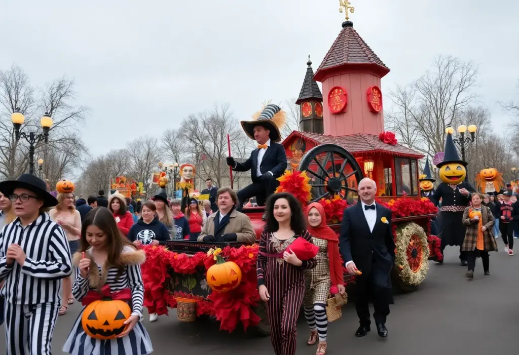
Twin Cities, October 26, 2025 News Summary The Twin Cities recently held their 3rd annual Halloween parade, themed around the Addams Family, bringing the community together for a night of festive...

Gray, Tennessee, October 26, 2025 News Summary As Halloween approaches, Gray, Tennessee, is getting into the spirit with impressive displays along Possum Hollow Road. Families are landing upon elaborate decorations that...
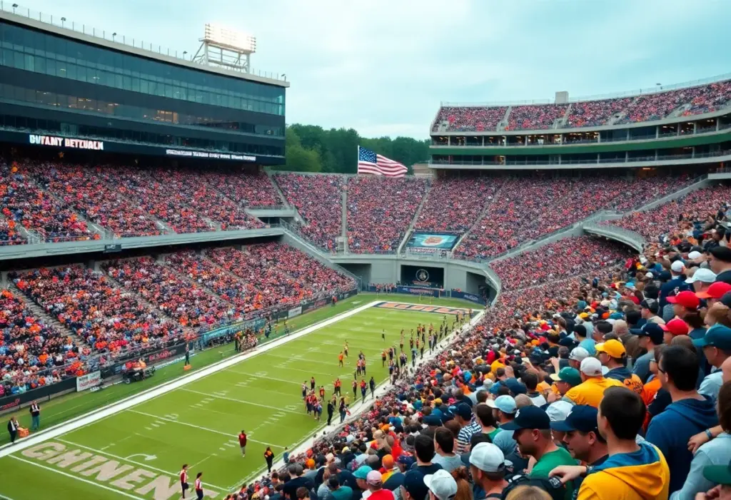
Kingsport, TN, October 26, 2025 News Summary Kingsport City Schools has announced new safety measures for the upcoming high school football season at Dobyns-Bennett High School. These regulations include a clear...

Kingsport, Tennessee, October 26, 2025 News Summary Georgia Fugarino, a beloved chef and history enthusiast from Kingsport, Tennessee, passed away at the age of 92. Known for her gourmet cooking and...

Bristol, Virginia, October 25, 2025 News Summary Early voting for Virginia’s elections started on October 13, with significant races on the ballot for governor, lieutenant governor, attorney general, and local positions....
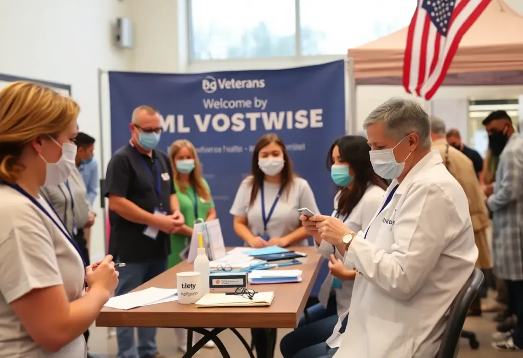
Bristol, TN, October 25, 2025 News Summary Bristol, TN will host a Veterans Dental Day on November 7, providing free dental care including x-rays, fillings, and haircuts for veterans. Organized by...
Bristol, Virginia, October 26, 2025 News Summary The Bristol Police Department executed a successful drug bust on October 15-16, resulting in four arrests and the seizure of methamphetamine and other controlled...
Bristol, Virginia, October 25, 2025 News Summary A murder-suicide incident occurred in Bristol, Virginia, leading to the deaths of Jessica Hickman and Travis Hickman. Police responded to the scene early in...
Bristol, Virginia, October 25, 2025 News Summary The Bristol Police Department conducted a successful two-day operation resulting in the arrest of 19 individuals. This collaborative effort involved multiple law enforcement agencies...

Johnson City, October 22, 2025 News Summary The Johnson City Police Department has issued a warrant for 25-year-old Raekwon Grimes, charging him with aggravated assault and unlawful possession of a weapon...

Bristol, Virginia, October 19, 2025 News Summary Matthew Dwayne Moore, 36, was arrested in Bristol, Virginia following an incident where he injured a police officer during an attempted arrest. After fleeing...
Bristol, Virginia, October 18, 2025 News Summary The Bristol, Virginia Police Department is investigating a rollover crash that occurred on Lee Highway involving a pickup truck and a sedan. The crash,...
Bristol, Virginia, October 17, 2025 News Summary Recent investigations in Bristol, Virginia, have led to the arrest of a 66-year-old man, Kent Bearden, on multiple sexual assault charges. Additionally, Tony Heath,...

Bristol, Virginia, October 12, 2025 News Summary Jameeka Starks, a 33-year-old woman from Bristol, Virginia, has been arrested in connection with a child abuse investigation involving her thirteen-year-old child. Facing charges...

Bristol, Virginia, October 12, 2025 News Summary The Bristol, Virginia Police Department has charged Jameeka Starks, 33, with serious offenses including abuse and neglect of a child and strangulation. Following her...
Williamsburg, VA, October 27, 2025 News Summary The Williamsburg community is grieving the loss of Joanne Christian Modlin, a beloved educator and community leader who dedicated her life to teaching and...
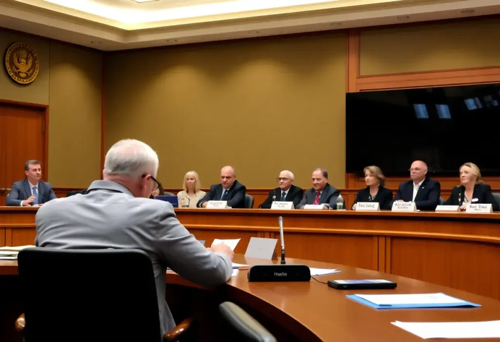
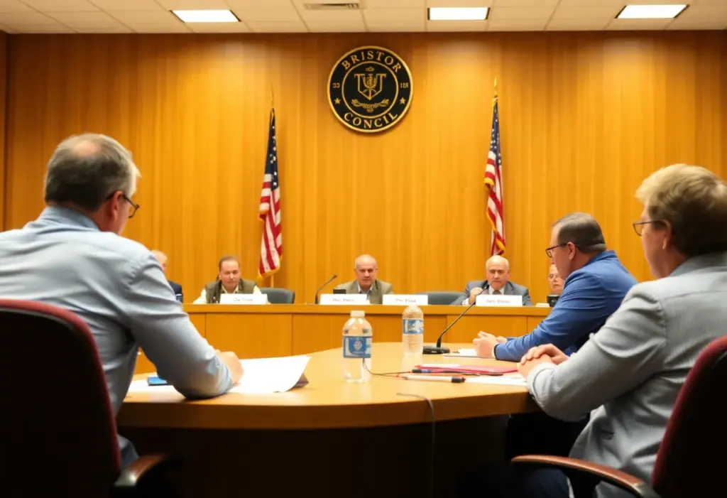
Bristol, Tennessee, October 22, 2025 News Summary The Bristol, Tennessee City Council has unanimously voted to lower the property tax rate by 2.5 cents per $100 of assessed value following the...
Bristol, Tennessee, October 21, 2025 News Summary Bristol, Tennessee, is reducing its property tax rate by 2.5 cents following the failure of a proposed stadium project. The city council unanimously approved...
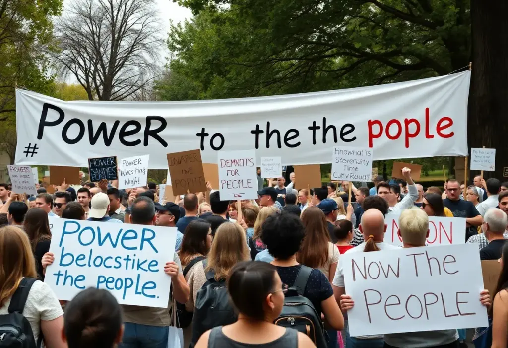
Tri-Cities, October 20, 2025 News Summary Residents from the Tri-Cities area, including Kingsport and Gate City, participated in nationwide ‘No Kings’ protests, advocating for accountability from leaders and addressing concerns over...

Johnson City, TN, October 20, 2025 News Summary The ETSU women’s soccer team faced their first defeat in 12 matches, losing 3-0 to league leaders Samford in Southern Conference action. Their...

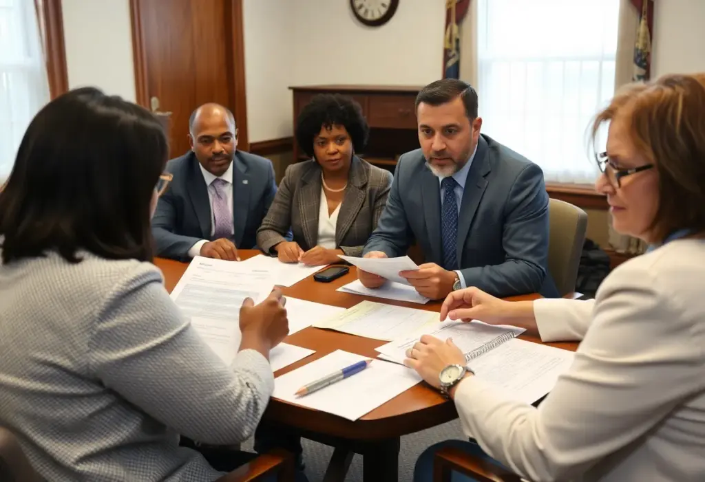
Bristol, Virginia, October 19, 2025 News Summary As the November elections approach in Virginia, the contest for the 44th District House seat intensifies. Incumbent Delegate Israel O’Quinn, a Republican, is challenged...

Bristol, PA, October 13, 2025 News Summary The Bristol community reflects on the significant contributions of Harold D. Mitchener and Lonnie D. Bristol, who both recently passed away. Mitchener, an educator...
Bristol, October 9, 2025 News Summary The Bristol, Tennessee City Council has unanimously approved a two-year moratorium on data processing centers to develop necessary regulations. This decision follows concerns from surrounding...

Bristol, Tennessee, October 3, 2025 News Summary The Bristol City Council has officially appointed Sullivan County Commissioner Matt Slagle to fill the vacant East District council seat, following the resignation of...
Kingsport, TN, October 26, 2025 News Summary Kingsport City Schools has announced new safety measures for the upcoming high school football season at Dobyns-Bennett High School. These regulations include a clear...

Kingsport, TN, October 23, 2025 News Summary Kingsport City Schools has unveiled new safety measures for the upcoming high school football season at Dobyns-Bennett High School. Aiming to enhance security and...

Tennessee, October 21, 2025 News Summary The recent rankings for Tennessee high school football have been unveiled as teams head into the critical final weeks of the season. Utilizing a unique...

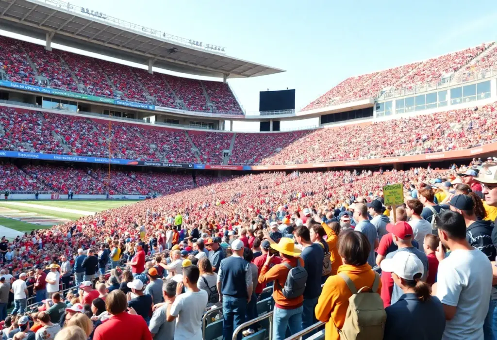
Bristol, Tennessee, October 19, 2025 News Summary The MLB Speedway Classic marked Major League Baseball’s first regular-season game in Tennessee, featuring the Atlanta Braves vs. Cincinnati Reds at Bristol Motor Speedway....

Bristol, TN, October 18, 2025 News Summary The first Women’s Professional Billiard Association (WPBA) SemiPro event took place in Bristol, TN, showcasing emerging talent. Veronique Menard emerged as the champion, earning...

Bristol, Virginia, October 16, 2025 News Summary The Bristol State Liners are returning to Bristol, Virginia with plans for a new multi-use stadium after a site was approved by the City...
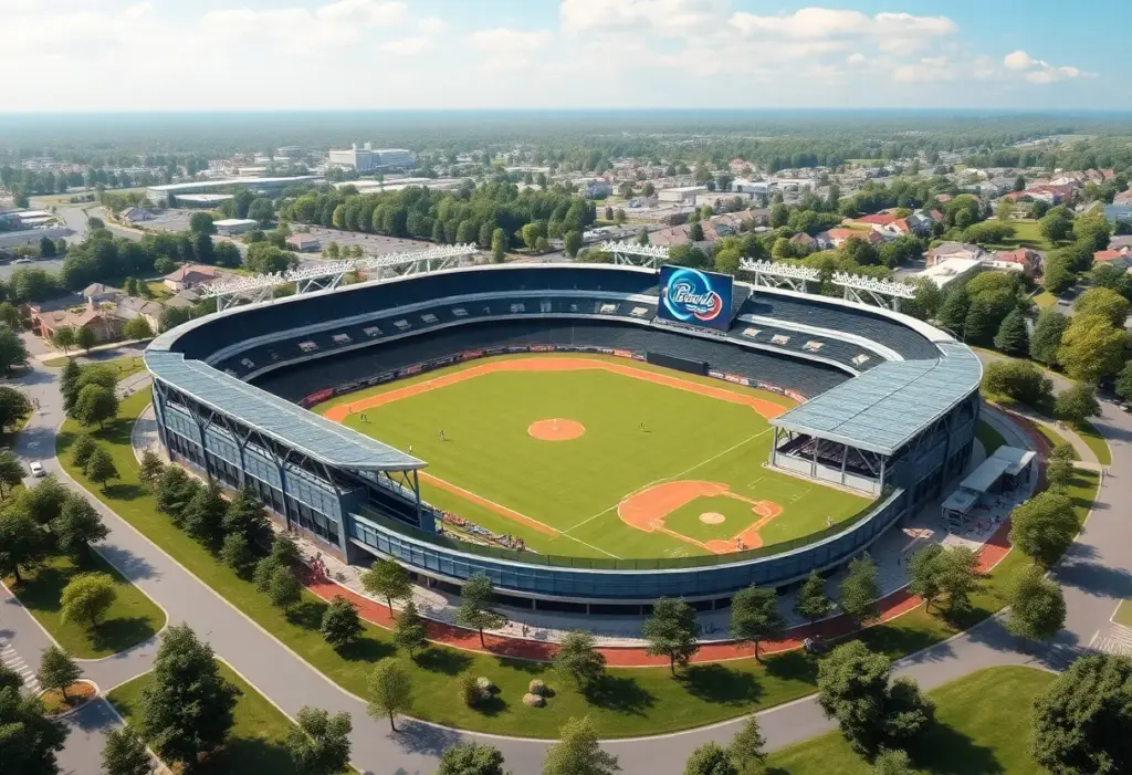
Bristol, Virginia, October 15, 2025 News Summary The Bristol, Virginia City Council unanimously voted to purchase nearly 9 acres of land for $1.1 million to build a new multi-purpose stadium. This...

Bristol, Virginia, October 12, 2025 News Summary Bristol, Virginia is set to build a new baseball stadium on an 8.73-acre site on Bob Morrison Boulevard behind a Food City store. The...

Morristown, TN, October 11, 2025 News Summary This week in Morristown, TN, residents are enjoying sunny weather with a high of 73°F while participating in community events, such as the ‘Blessing...